The Knowing.Earth atlases bring together key databases with associated knowledge to address different Earth questions. These atlases are the commercial access to our data- and knowledge-bases, including our portfolios of analogs and geological scrapbooks – an inexpensive portfolio of geological summaries for areas worldwide.
The Knowing.Earth atlases represent a major resource for explorationists, based on over 30 years of experience and the latest research and input datasets. Built in collaboration with leading international academics, these atlases are designed to be compatible with all current service providers and are available in both digital and hardcopy.
All of our databases are underpinned by comprehensive attribution and symbology protocols and are supported with metadata, including data provenance and methodological information.
We have three atlas suites currently being built:
To learn more about our 2021-2022 build programme and how it could be useful for you, please contact us at [email protected]
|
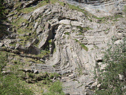
The Reclus suite of databases brings together interpretations and data comprising the Earth’s structural framework, crustal architecture, igneous history and basin evolution.
Atlases are being built by region with the first atlases due to be completed later this spring (East Africa, West Africa, Southern Africa). This work is underpinned by systematic workflows and our extensive experience of tectonics in Academia and Industry. These atlases have been built at a high resolution than previously in order to also provide analogues for exploration work, but to also meet the needs of mineral explorationists, especially those involved in battery minerals and other rare earths. These databases also provide the basis for geothermal, carbon sequestration and hazard investigations. |
Paleogeography is central to much of what we do as the spatial context for understanding Earth processes and evolution.
These new atlases build on over 30 years of experience in generating paleogeographies at all scales and resolutions and make use of lessons learned and the very latest technological and scientific concepts. They are underpinned by our detailed Reclus and Osiris suites of databases together with our new, exhaustive data management system (Baker Street). Dr Markwick developed the methodologies used for CGG Robertson’s Merlin and Merlin+ products, and Getech's Globe product suite and multiclient reports. This includes the depositional mapping methodologies (based on the Chicago Method developed by Professor Fred Ziegler, Ziegler et al., 1985), drainage reconstruction methodologies and palaeolandscape methods (see Markwick & Valdes, 2004). Watch this space |
The Osiris suite of databases comprises the components we use in our workflow for reconstructing past transport pathways, especially past river systems. This is a fundamental component of source-to-sink analysis used in exploration and play mapping.
These atlases will include maps and analyses of past landscapes including elevation, bathymetry, and palaeo-river systems from first principles: analyses of the Present Day drainage networks (drainage network analysis), palaeobiogeography, provenance analysis, sedimentology, and paleogeography. Osiris forms part of our larger-scale workflow for reconstructing and understanding the evolution of the Earth. They are based on methodologies presented over 25 years at leading conferences and workshops around the world |
|
Use the before and after widget above to see how the Early Eocene geodynamics of the central Pyrenees transforms into the paleolandscape. Both images have been palinspastically restored. This provides an idea of the multiple layers of data used to build up a paleogeography.
|


