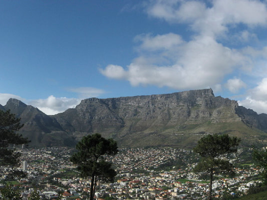
Water is fundamental to life on Earth and has long dictated the location of human activity and development. Have a look at your local area to see where your town or city is located and how this relates to water.
Today we are faced with two major problems: too much water and too little water.
This is not a new problem, as we can see when we look through history. But today the combination of population growth, economic needs, land-use changes, and environmental change means that the hydrological system is increasingly important.
The challenge is how to manage water.
Our work on landscape dynamics and climate change place is in a unique position to understand the distribution of water, aid in the search for more water resources, and provide insight and advice on what to expect from future climate change. There is also the issue of “drinkable” water. Again, water quality is a concern not just for poorer countries.
Deep Aquifers
There has been increasing interest in finding deep aquifers with potable water, especially in southern Africa.
We use our geological knowledge, especially in understanding source-to-sink and paleogeography, to provide expertise and insights into the distribution and viability of potential deep aquifers worldwide. |
Water Management
Water management is about understanding how to manage water resources in a changing world best.
The impacts of population growth, urbanization, and climate change mean that water distribution and behavior worldwide are changing rapidly. This requires an understanding of the relationship between the hydrological system and human activity. This brings together our experience in climate and environmental science with geospatial data management, collection, and analytics |
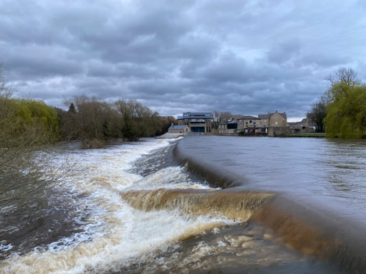
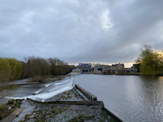
Flood Risks
Flood risk is a spatial databasing and analytics problem with insurance, building planning, and land use management applications.
We use maps and our knowledge of climate and climate change to assess the areas most at risk and pose possible solutions, working with experts in this field. |