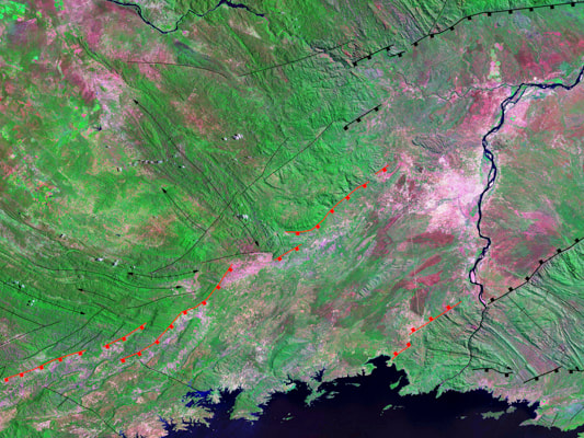
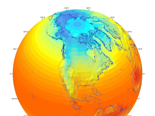
Geospatial analysis brings together advanced statistical techniques and the power and visual simplicity of maps.
These techniques can be applied to a range of geospatial Earth system problems, from biodiversity and climate change, to water management, geohazard identification and quantification, and hydrocarbon and mineral exploration.
At the heart of any analysis is the data. Data is the fundamental building block of all knowledge and understanding. But, to have confidence in our conclusions, we need to trust the source data we use and any derivative interpretations based on that data. Thus, this is about data management.
Once we have data that we trust, verified data, then the challenge is knowing the right questions to ask, which tools to use and how to understand the results. You can have the most powerful database and analytical software system in the world, but if you don't know what you are looking at when you see the results, then trusting the computer to "tell you" is fraught with risk. This is both a skill and a creative process.
We provide a range of services, including data management, digital mapping, and geospatial analysis. This is based on over 30 years of experience designing, building, populating, and analysing big data.
These services include supporting and mentoring companies in designing, building, and managing existing or new databases of Earth system information, getting the most from GIS (Geographic Information System), and how to approach data analytics. At the heart of this is ensuring that you ‘know’ your data. To help understand this have a look at our blog on data, The importance of knowing your data
We also offer courses and workshops on a range of topics in the fields of GIS and data analytics, including the following: an introduction to using GIS; how to analyse large datasets: how to generate remote sensing-based information, from structural elements and bedrock mapping to drainage and landscape analysis; spatial analysis; spatial statistics; scale and resolution in mapping.
|
GIS
Geographic Information Systems (GIS) provide a powerful integration of maps and relational databases.
A variety of commercial and free software solutions are now available. Our preferred platform is ESRI's ArcGIS, with our experience dating back to using ARCINFO back in the late 1990s. We offer a range of introductory courses on using GIS and spatial databasing that can be designed to fit your specific needs. |
Data Management
Data management is a vital part of understanding your data and making the best use of it. With careful database design and management, you should be able to expedite the capture and analysis of useable data.
Database design will depend on three key drivers: 1, application; 2. Users; 3. The nature of the data stored. We can provide advice on data management and best practice to help you get the most from your data. |
Data Analytics
How do we statistically analyze heterogeneous spatial data? This depends on the data, but especially the questions you are asking of it. Not all statistical techniques are appropriate, and in many cases, you will find that the simplest solutions are the most useful.
We provide advice and training on geospatial analysis in the Earth Sciences. |
In addition to our commercial work, we also provide free resources for students and the public, including blog articles, videos, downloadable datasets, and images.
Check the resources pages to see what is currently available
Check the resources pages to see what is currently available
For further information, don't hesitate to get in touch with us at [email protected]


