Data underpins all knowledge and thereby our understanding and insights of the Earth and how it works. In “The Adventure of the Copper Beeches”, Conan Doyle has Sherlock Holmes expostulate “Data! Data! Data!… I can’t make bricks without clay”. But as with any successful detection story, the key is in understanding the data you have and knowing what to do with it.
We have built a range of databases that underpin the products and services we provide.
This page provides information on some of these databases.
A key strength of our database design is a comprehensive, but simple attribution, which allows the user to quickly assess data confidence and veracity. Much of this is based on the work of Professor Ziegler at the University of Chicago (Ziegler et al 1985) and papers by Dr Paul Markwick (see Publications page) on constraining geological and biological data and designing databases.
The Atlases described on the Products and Services pages are the productization of these databases into compilations that bring together related materials to solve specific challenges.
If you would like to learn more about our databases and the timetable for release of our atlases please contact us at: [email protected]
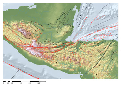
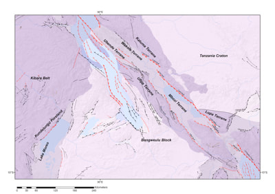
Structural Elements
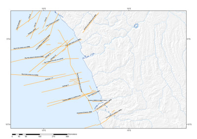
Part of the Reclus suite of databases, the Structural Elements database defines the Earth's structural framework, including information on kinematics and evolution. The database is built from primary data including gravity, magnetic, Landsat, radar and other remote sensing data, seismic, well data, neotectonic information, and field observations
|
Crustal Facies
Part of the Reclus suite of databases, the Crustal Facies database stores information about the geometry, thickness, and composition of each part of the Earth’s crust. The database is underpinned by a completely new classification scheme that is undergoing testing in different tectonic settings to check its ease of use and veracity.
|
Igneous Features
Part of the Reclus suite of databases and including polygon and line features. Both intrusive and extrusive forms are represented, with records of age, petrology, tectonic setting, and geology. We have gone into much more detail with this igneous database than existing databases, to be of more use to mineral explorationists, especially those involved in the search for battery minerals.
|
Geodynamics
The Geodynamics Database stores information about the contemporary tectonics acting on an area. The default database is built for the present-day. Separate databases represent the evolution of geodynamics for each timeslice reconstructed for our paleogeographic atlases.
|
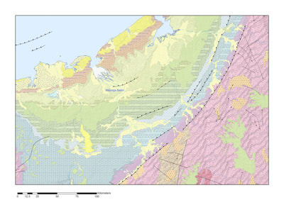
Sedimentary Basins
The Sedimentary Basins database is built from an understanding of the crustal facies, structural framework, and geodynamics. The default database is constructed for the present-day, with the evolution of basin geometry and kinematics reconstructed through time as separate paleo-databases.
|
Plate Polygons
The plate polygons database is an entirely new representation of plate boundaries based on the detailed crustal and structural mapping. The attribution is consistent with the input requirements for the gPlates plate reconstruction software.
|
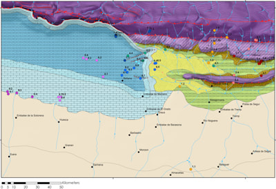
Bedrock Geology
The Bedrock Geology database records the Earth's surface geology, including information on rock unit age, stratigraphy, depositional environment, and lithological or petrological composition. This database is consistent with the Structural Elements database and built using remote sensing techniques. The default database represents the present-day surface geology. This database is then modified for each time-slice used to generate paleogeographic maps.
|
Depositional Environments
The Depositional Environment databases comprise information on the setting in which the rock record was deposited based on interpretations of the stratigraphy, sedimentology, and fossil composition. A present-day database is constructed for each area, with separate databases for each timeslice mapped as part of the paleogeographic mapping.
|
Lithologies
The lithological databases store information on the lithologies and petrology's of depositional areas.
|
Geomorphology
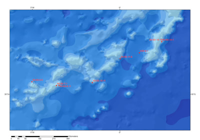
The Geomorphology database is part of the Osiris suite of databases. This database is used in the source-to-sink workflow and includes information on features such as submarine canyons.
|
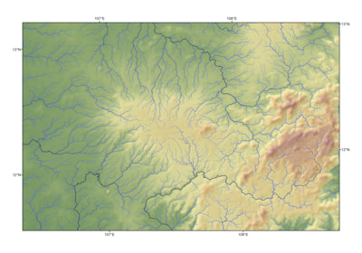
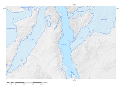
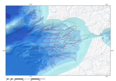
Drainage databases
The Drainage databases include several separate databases within the Osiris suite. These are used in the drainage analysis of the present-day as part of the source-to-sink workflow. Databases include river networks, drainage basins, and drainage nodes.
|
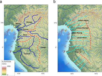
Paleodrainage databases
The Paleodrainage databases represent the past river networks, drainage basins, and drainage nodes for each paleogeographic timeslice mapped.
|
Reference Footprint
A database of the geographic footprint of each reference in our library. This allows us to quickly search for key papers and reports based on location.
|
Reference Lines
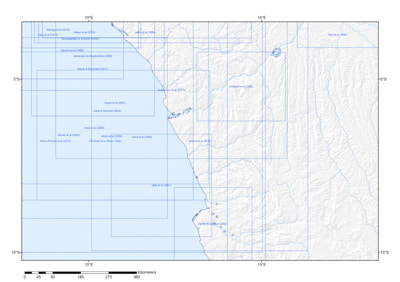
The Reference Lines database records the position of all key geological sections, seismic lines, and 2D profiles used in building the crustal and structural databases.
|
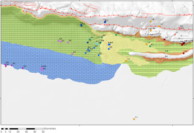
Geological Localities
Comprises global information on lithologies, depositional environments, based on outcrop observations.
|
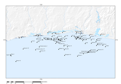
Wells
The Wells database stores geological well information used in constructing the Crustal Facies, Igneous Features, and Depositional Environment databases. This information is also used within exploration. The databases comprise a location table linked to a Tops table.
|
Climate Proxy databases
Originally built as a series of research databases this resource includes both present-day control data and geological climate proxy information.
|
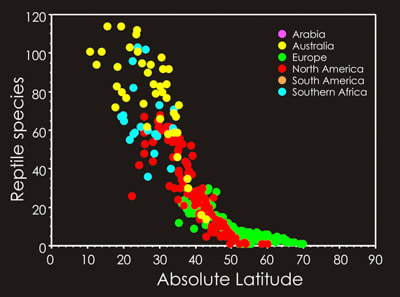
Paleobiology databases
These databases were originally established for investigating paleobiodiversity, extinction and constraining climate proxies.
|