We have a range of courses we can offer, which can be adapted to your needs. This includes face-to-face and online options. We can also mix-and-match elements if this would be most useful for you
If you would like to learn more about what we can provide please contact us: [email protected]
If you would like to learn more about what we can provide please contact us: [email protected]
|
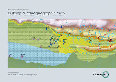
Building a Paleogeographic Map
This course aims to introduce attendees to paleogeography, its applications, and how to build a map. This includes sessions (lectures, discussion groups, and worked examples) on GIS, capturing uncertainty (mapping and geological), and the ever contentious issue of reconstructing paleo-elevation.
|
Contents
|
|
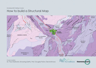
Building a Structural Map
All geologists ‘know’ what a structural map is. Here we look at generating structural maps at a variety of scales and for a variety of purposes. We will look especially at regional- and basin-scale mapping used in frontier exploration and academic studies. This includes an introduction to remote sensing techniques, data management, and GIS.
|
Contents
|
|
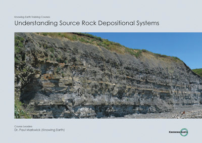
Understanding Source Rock Depositional Systems
In hydrocarbon exploration, the presence of a source rock is a key prerequisite to generate a petroleum system. Today, organic carbon-rich rocks also provide valuable information on the behavior of the carbon cycle through time. This course investigates both. How and where organic rich rocks form, how they vary, and what this tells us about the state of the oceans and atmosphere through time.
|
Contents
|
|
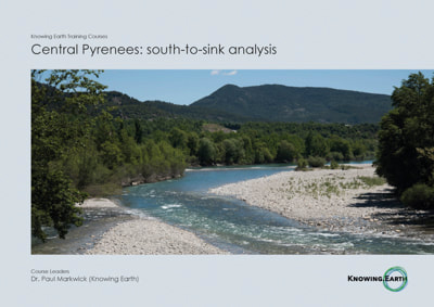
Source-to-Sink Analysis
This course investigates the whole story of sediment from its origins in the hinterlands (source) to its final deposition in downstream basins (sinks). The course brings together drainage analysis, paleo-river reconstruction, elevation modeling, climate modeling, and an examination of the depositional environments
of reservoir facies. |
Contents
|
|
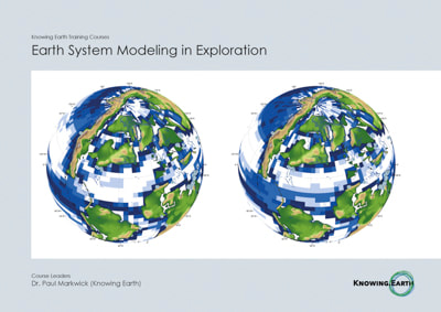
Earth System Modeling in Exploration
Earth system modeling includes computer-based modeling of the dynamics of climate, oceans, and surface processes. Although primarily used for weather forecasting and investigating future climate change, these models have also been used in geological exploration, including modeling placer mineral deposits and source, reservoir, and seal facies. Models are also used to predict present-day and future tides, waves, and ocean currents for rig and pipeline placement. With over 30 years of experience in academia and industry in using climate models for exploration, the course leader will take attendees through a journey bringing together the basics of climate system, dealing with model uncertainty, and modeling depositional systems retrodicting lithofacies.
|
Contents
|
|
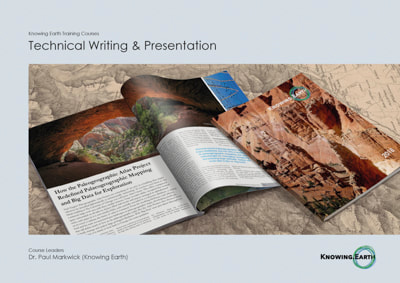
Technical Writing & Presentation
In this short series of lectures and worked examples, you will be guided through some keys to writing and presenting technical research.
|
Contents
|